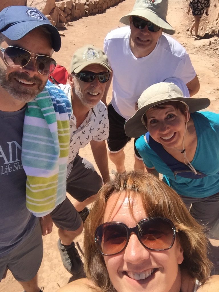
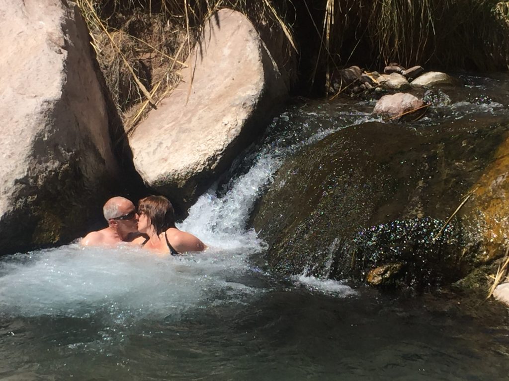
For our last full day in San Pedro, I think we chose the absolutely most fantastic thing to do: soak in some natural hot springs.
Our driver, Oscar, picked us up at 2 p.m. for the 34-kilometer bone-rattling drive to Termas de Puritama. Once we arrived and paid the entrance fee, he tried to explain some of the bathing protocols, but most of it was lost in translation. Oscar waited with the van at the top of the ravine, and we walked down the steep path to the springs.
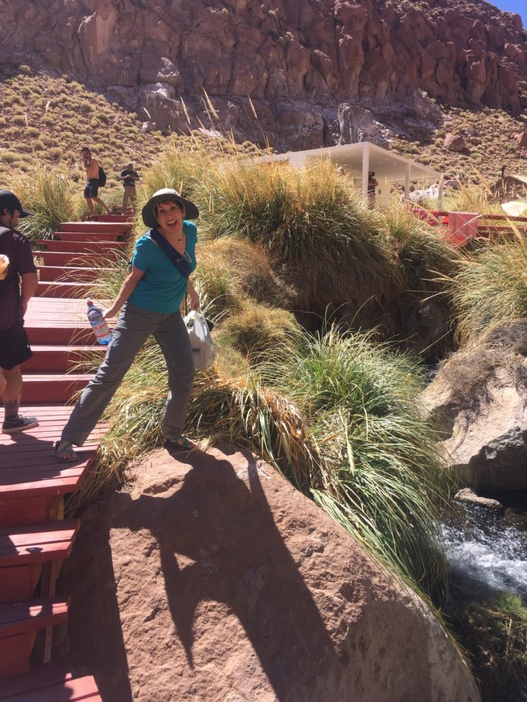
The name Puritama means “hot water” in the indigenous Kunza language. The water’s temperature ranges from 25°-33°C or 77-91°F, cooling off as it flows downhill.
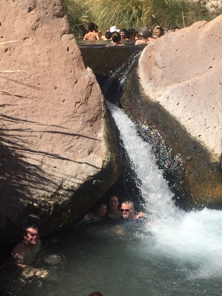
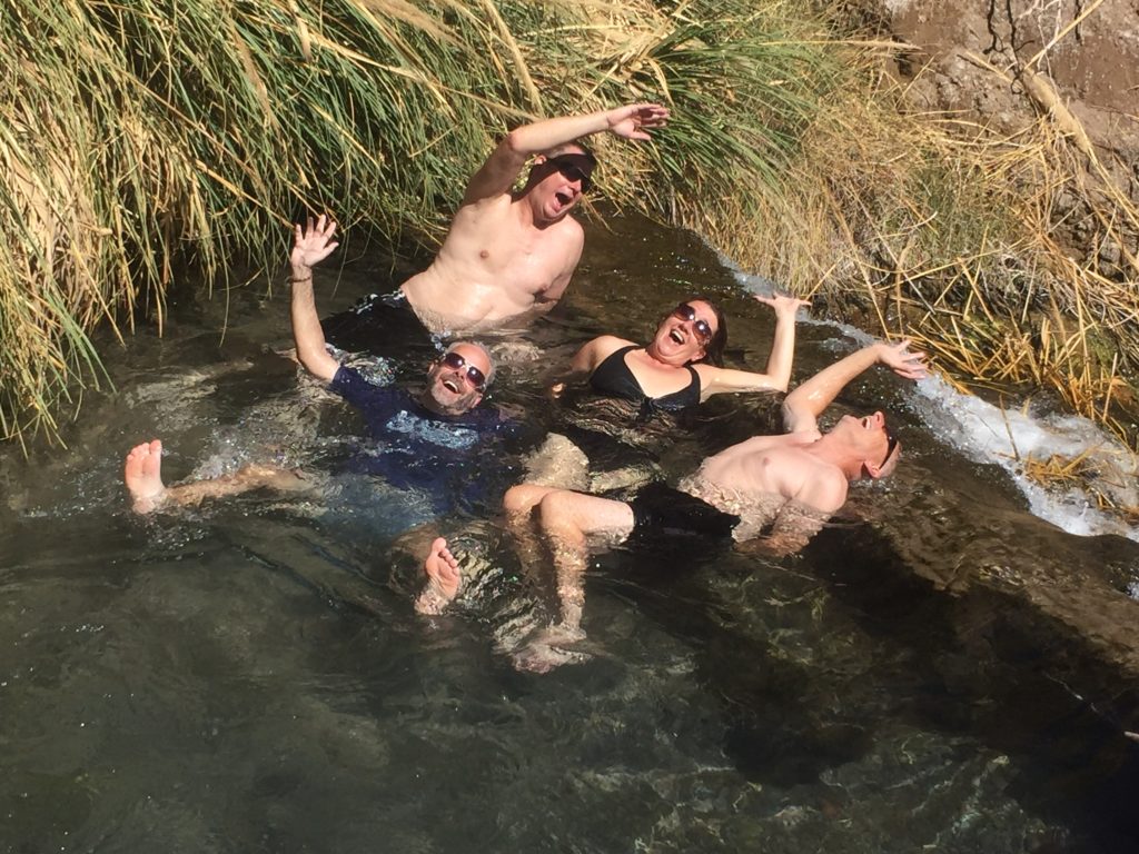
The water spilled from pool to pool, creating entertaining waterfalls and occasionally strong currents. Raised boardwalks connected the eight pools and branched off to restrooms, changing rooms, and a covered picnic space. I later learned the site is maintained by the Explora company.
This place was a gajillion times better than I could have anticipated. Although quite busy, the pools never felt uncomfortably crowded, and everyone seemed thrilled to be there. Big smiles all around. The positive energy was infectious.
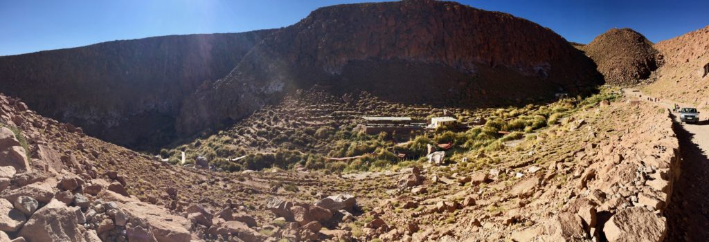
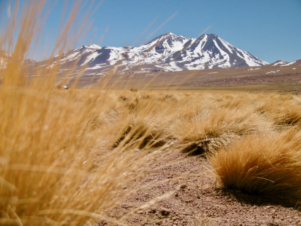
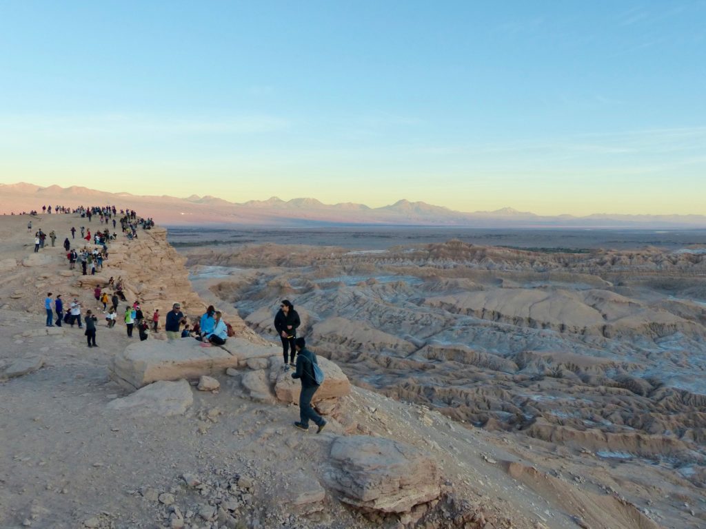
View from the top.
Tony and I reached the parking lot first at the end of our visit. I tried to chat in Spanish with Oscar, the driver. Turns out he was a big fan of Ray Charles, the Beatles, Elvis, the Four Seasons, and other stars of the oldies stations. He played some of his favorites during the ride, and we sang the whole way home.
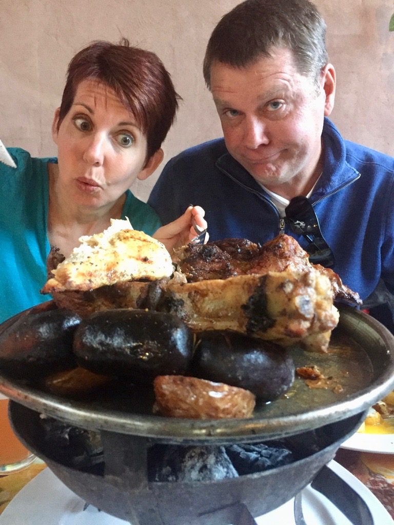
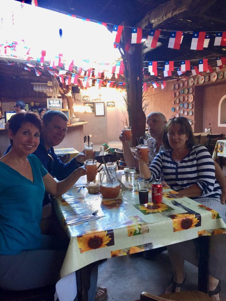
Back in San Pedro, we went out for our last dinner in Atacama. Nancy and Jim ordered this giant pile of meat, and we shared a pitcher of terremotos, a traditional Dieciocho drink made from pipeño wine and pineapple ice cream.
Our Atacama adventure continued on Tuesday with a full-day of high-altitude happiness. Craig opted out, but the rest of us piled into a van with a few other tourists at the crack of dawn for the journey up to 4,400 meters (14,435 feet).
Our driver, whose name I have regrettably forgotten, was extremely enthusiastic and knowledgable, and he spoke clearly and slowly so I could understand quite a bit of his Spanish. Good thing because the guy who tagged along as our English interpreter was sweet and friendly but unfortunately didn’t actually speak English. For example, here’s the explanation of how the salt lagoons formed:
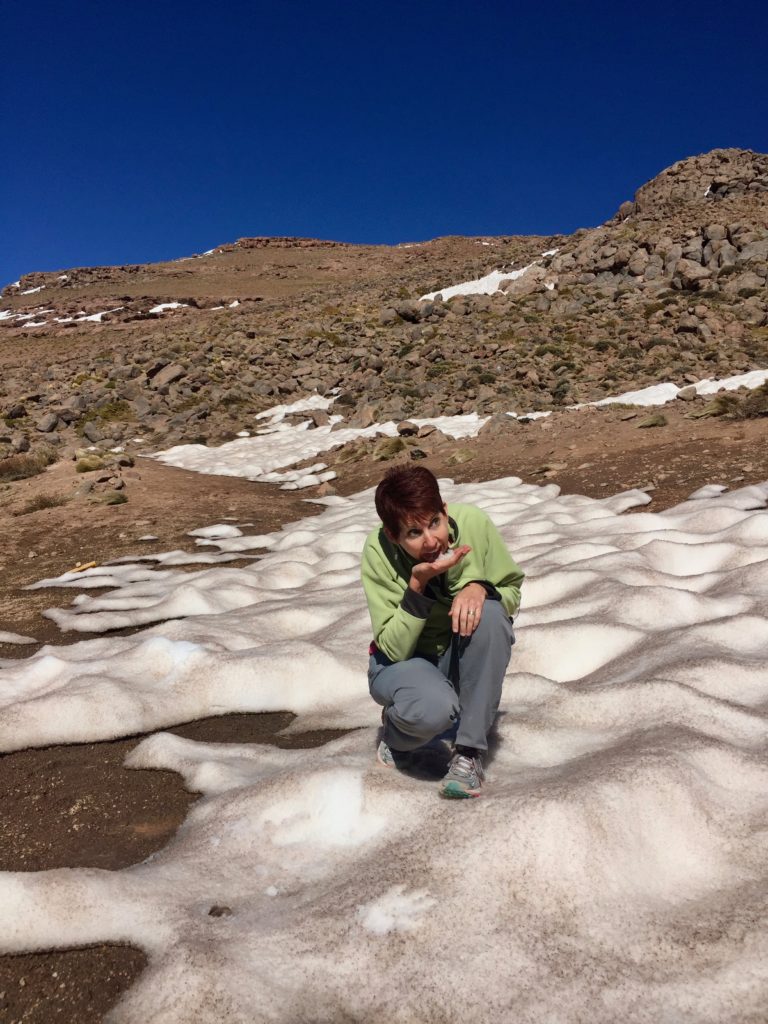
At one point, we pulled off the road for a photo shoot. I ate some Altiplana snow; couldn’t resist. God only knows how long it had been there.
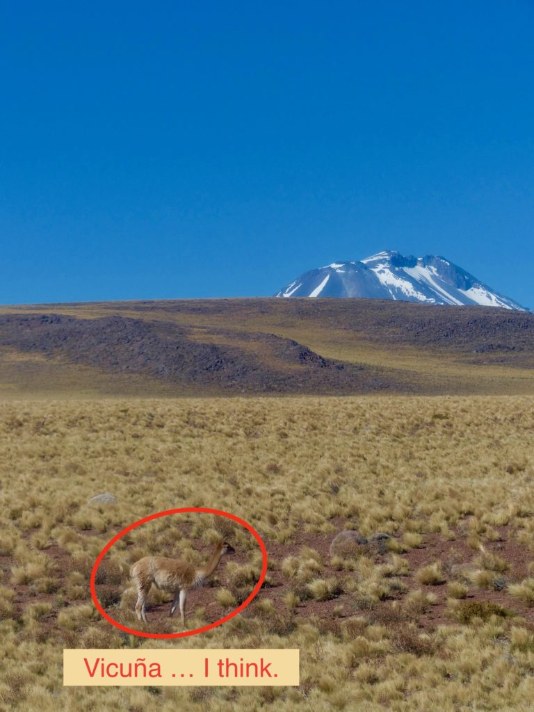
The driver pointed out vicuñas as we bounced along the mountain roads. I can’t tell a llama from a guanaco; they are all adorable. Vicuñas are protected in Chile, but poachers herd them across the border to Bolivia, where it’s legal to kill them for their meat and wool.
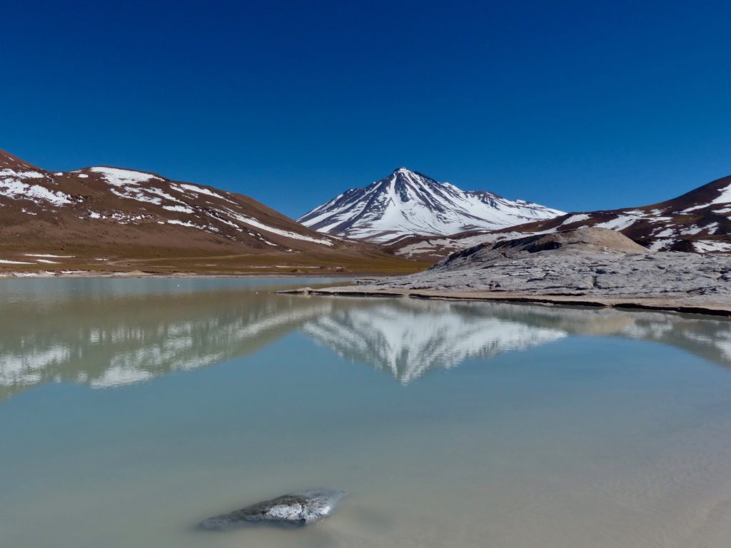
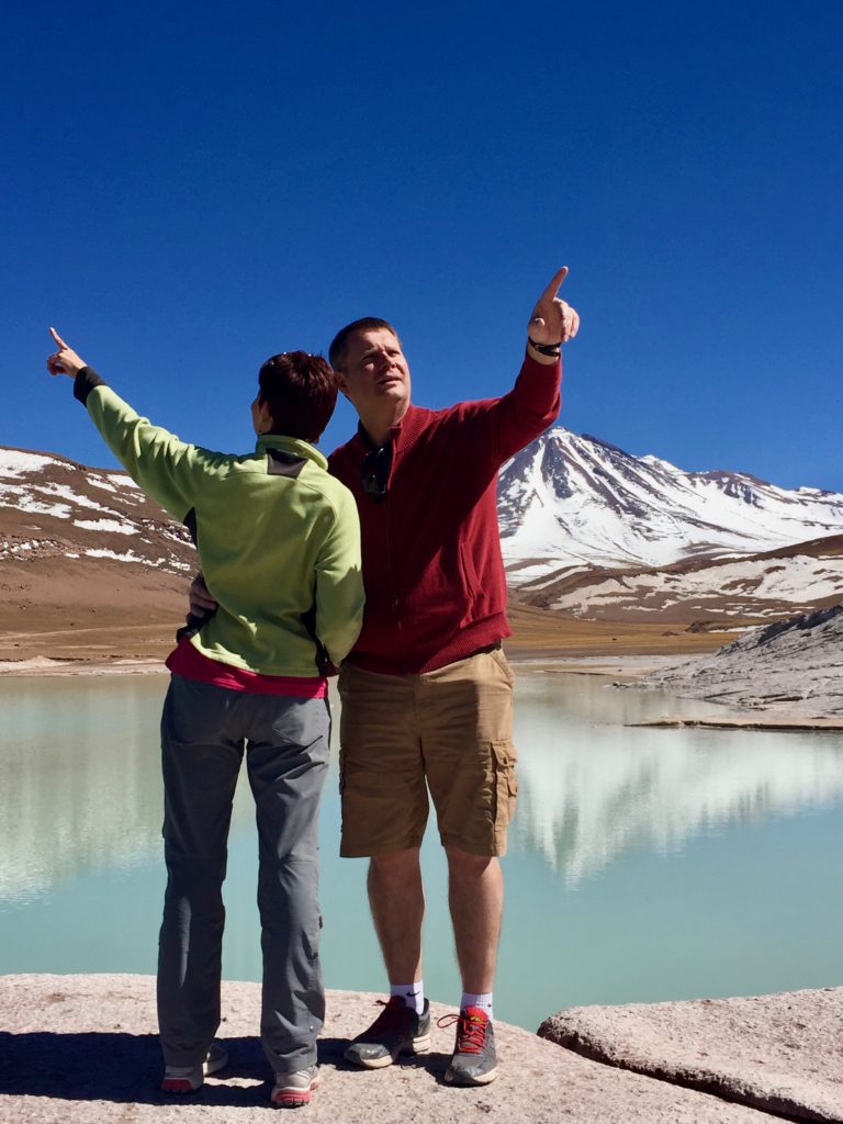
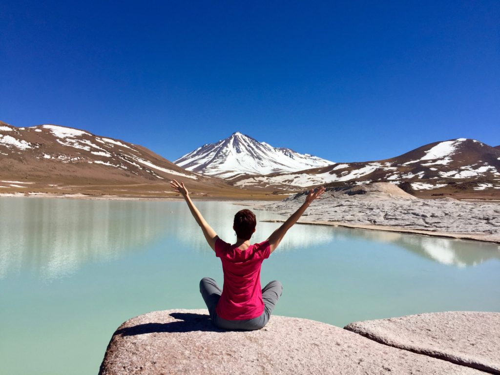
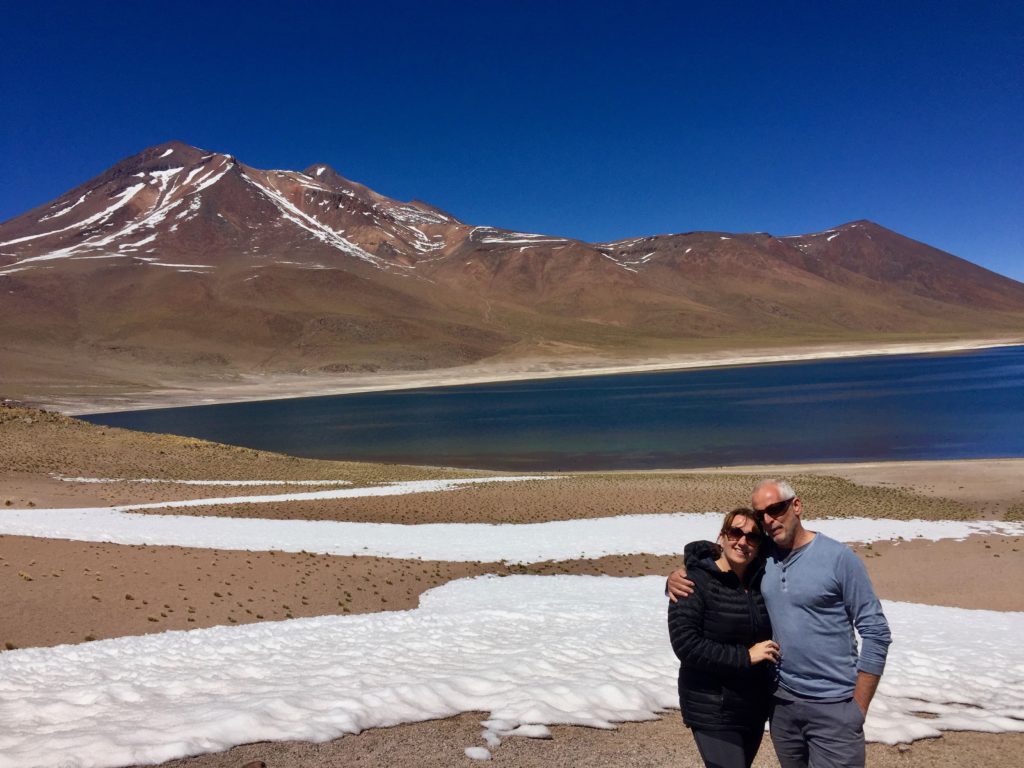
At our first destination, Piedras Rojas – or Red Rocks, we strolled around the smooth-sculpted terracotta-colored rocks and marveled at the snow-capped Aguas Calientes volcano reflected in the glassy aquamarine lagoon.
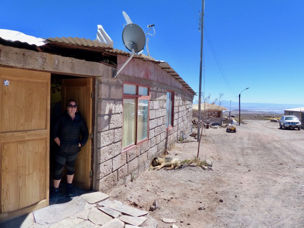
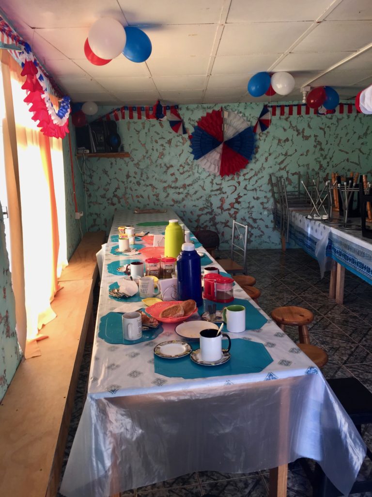
From there, we drove to a small village and crowded into a tiny restaurant (or someone’s home?) patriotically decked out for Dieciocho.
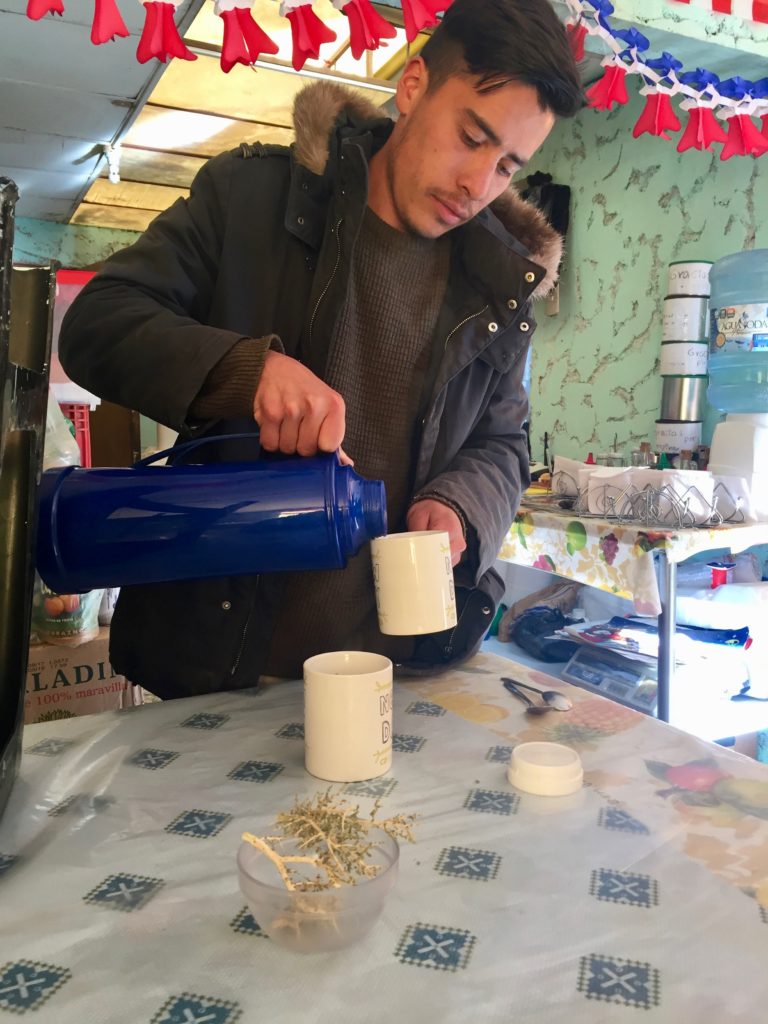
Sitting in plastic chairs, we clasped our mugs of steaming instant coffee while smiling ladies served up toast and scrambled eggs. The driver sat next to me, and I used all my Spanish to have a good chat with him. He introduced me to rica rica, a thorny shrub that grows in high altitude. Considered a medicinal herb, it can help with altitude sickness, cure tummy aches, strengthen your circulatory system, and provide many other health benefits, the driver told me.
I tried the rica rica tea at breakfast and found it very soothing. Back in San Pedro, I sampled some refreshing rica rica ice cream and even bought a branch of rica rica at the market (although I ultimately gave up on packing it to take home).
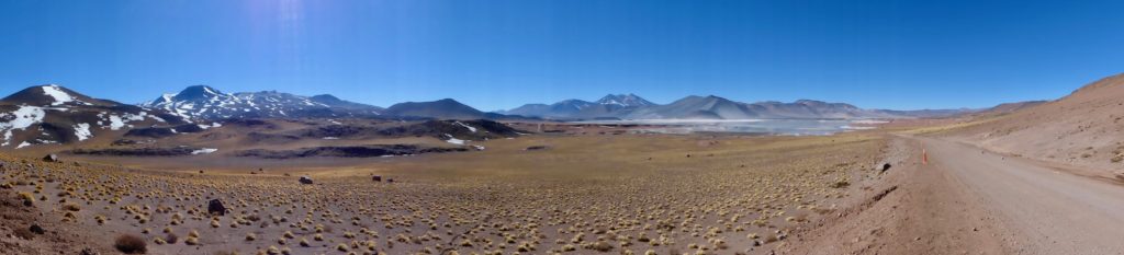
After breakfast, we hit the road again. We visited two more lagoons: Miscanti and Meñiques. Each lagoon sits at the foot of its namesake volcano, and together they cover almost 11,000 hectares. They are fed by an underground water supply and serve as breeding and nesting sites for many highland birds.
Laguna Miscanti
Laguna Meñiques
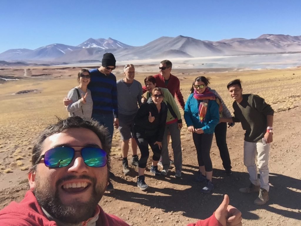
One more quick roadside photo shoot before heading back to the village for lunch… Jim’s awesome shot.
Lunch was soup, followed by a meat dish. When Nancy asked what the options were, our “interpreter” explained that she could have “meat or kitchen.”
Nancy: You mean chicken?
Interpreter: Yes, kitchen.
Nancy: You’re saying “kitchen,” but you mean “chicken,” right?
Interpreter: Yes, kitchen.
We were dying. And this placemat didn’t do much to stifle our hysteria.
After lunch, we walked outside, and I looked up at the mountains. “Is that salt or snow up there?” I asked.
Interpreter: (quizzical look)
Me: Esta sal o nieve?
Interpreter: Nieve.
Me: Snow? But it’s so dry here.
Interpreter: Invierno …
Me: Winter?
Interpreter: Si, winter… before, no … after, no … because, no … verano …
Me: Summer?
Interpreter: Si.
Me: Ohhhhh…
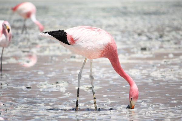
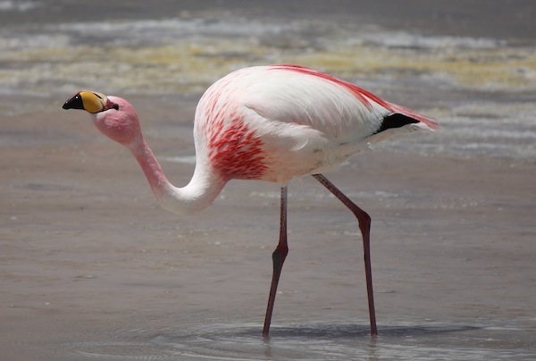
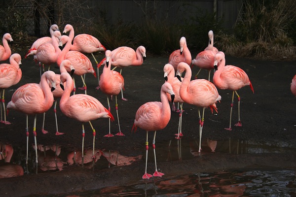
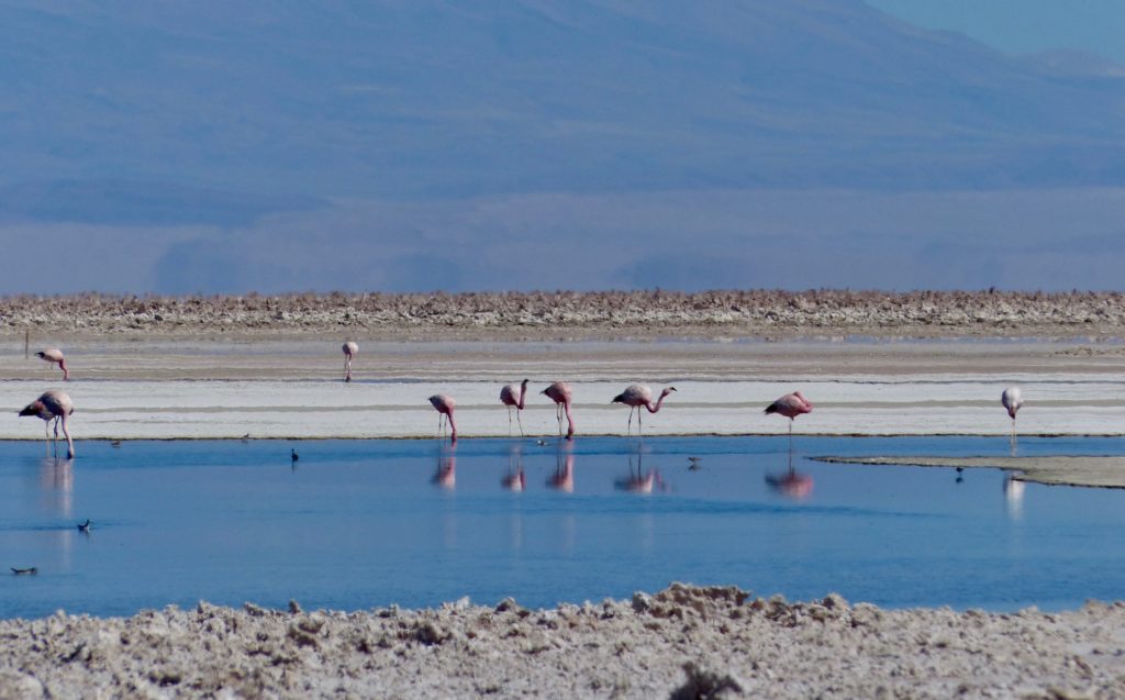
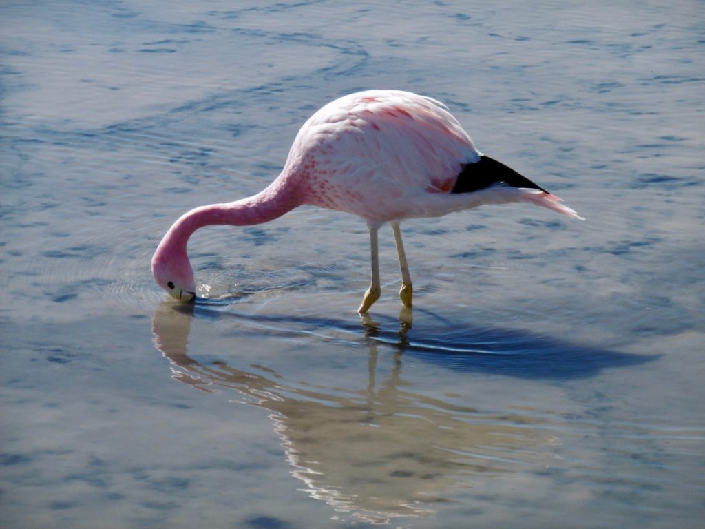
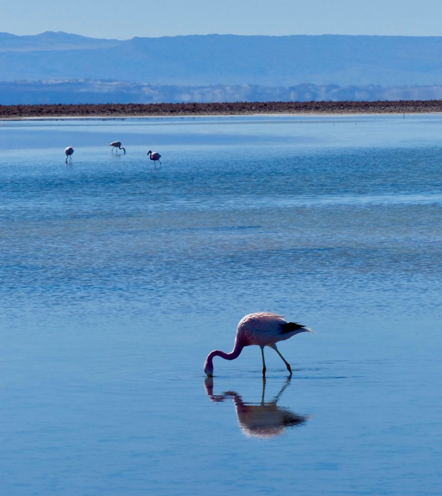
Although most of our day had been spent exploring areas encompassed by the Reserva Nacional Los Flamencos, our next stop – the Laguna Chaxa Visitor Center in the Soncor Sector – put us face to face with those gorgeous pink birds.
The Convention on Wetlands, called the Ramsar Convention, is an intergovernmental treaty that provides the framework for national action and international cooperation for the conservation and wise use of wetlands and their resources. The Soncor Hydrological System is a Ramsar site that promotes the rational use of wetlands, primarily as a habitat for migratory aquatic birds. According to Ramsar, “Located in the catchment area of Salar de Atacama, this site is characteristic for presenting a crust of different types of salts, mainly chlorides and sulphates. There is also a hydrological system conformed by a series of superficial channels and lagoons, that together constitute a perfect habitat for waterfowl, many of which are endangered such as the three High Andean flamingo species …”
Here are the three flamingo species found at Laguna Chaxa (from the website BioExpedition). I’m newly obsessed. I started to post an obscene amount of information about flamingos, but you can click the links to read more about them.
The Visitor Center offers an interpretive trail through the bizarre crunchy crusty salt flat, which includes four lagoons full of life forms adapted to highly saline conditions. The micro-algae, brine shrimp, copepods, and daphnias serve as food for flamingos and other water birds. The pigmented algae is believed to be the source of flamingos’ rosy hue.
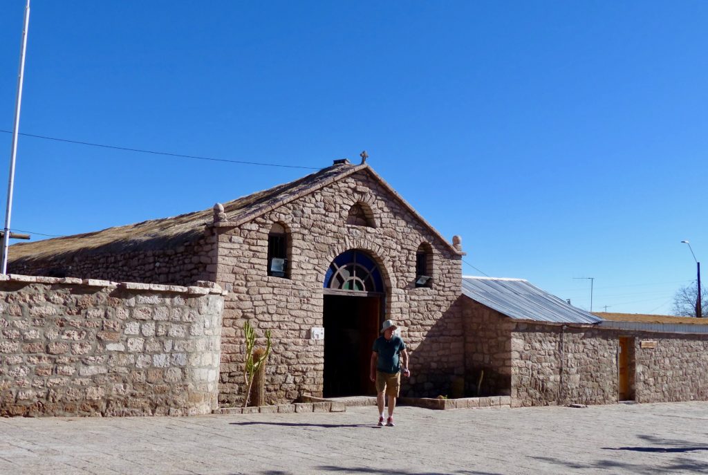
On our way back to San Pedro, we stopped at the village of Toconao, mostly so everyone could get some ice cream. The traditional Andean town is known for its houses constructed from a light-colored volcanic stone called liparita. The church, Iglesia de San Lucas, and its separate bell tower date from 1750.
Whew! That was a long, incredible day! Off to bed to dream about flamingos and salt.
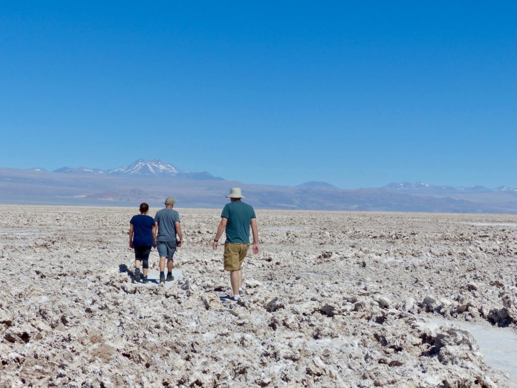
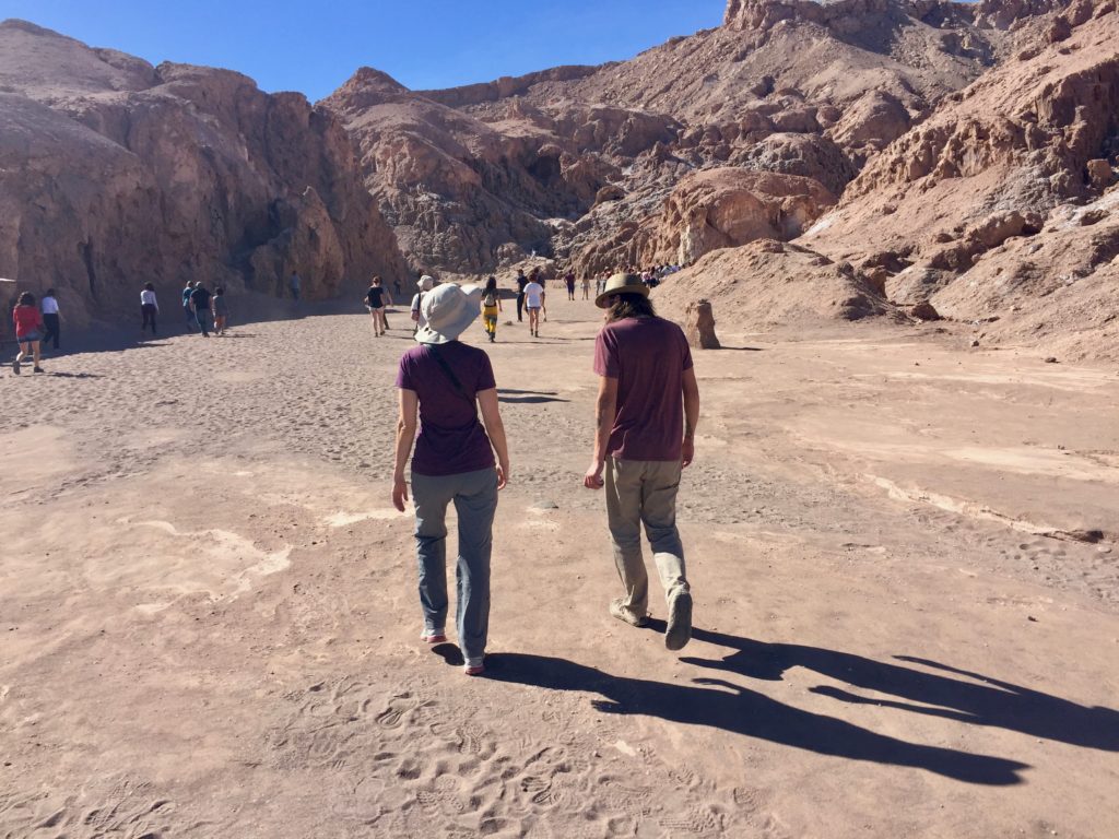
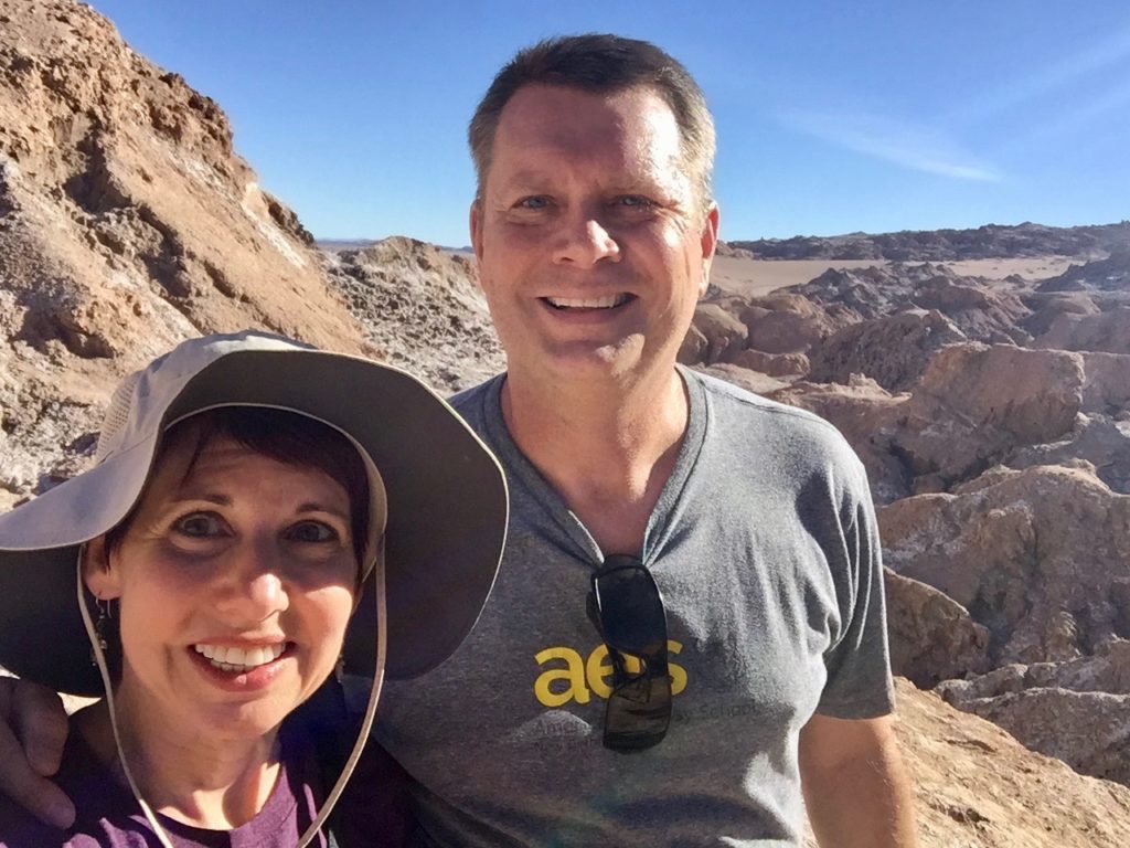
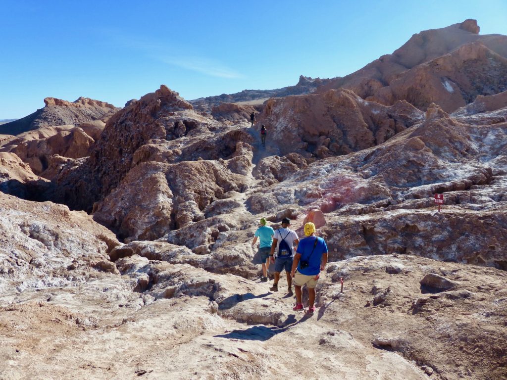
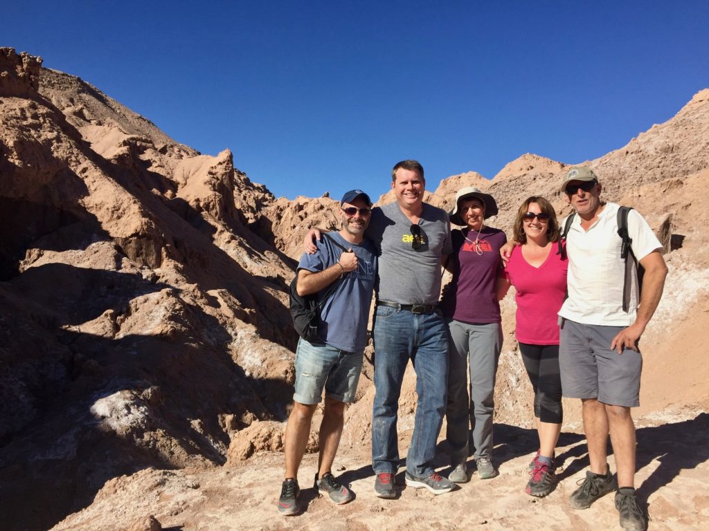
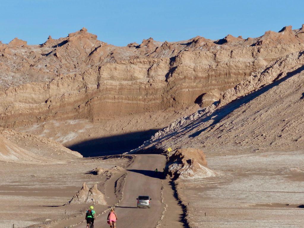
On our second day in San Pedro, we took off for the moon … well, the Valley of the Moon. Named for its moon-esque landscape, the Valle de la Luna featured craters, cliffs, sand dunes, caves, and other stunning landforms composed of salt and rock, first created by the buckling of the earth’s crust and then carved by wind and floodwaters over thousands of years. The valley is located at the northern end of the Cordillera de la Sal, the Salt Mountains range of the Andes. Dried-up salt lakes appear to be dusted by frost, but up close you can see chunks of salt crusting the rocks.
The valley was designated a national nature sanctuary in 1982, so its massive dune (known as the Anfiteatro because it resembles an outdoor amphitheater) is now off-limits for hikers and sandboarders.
One of the driest places on earth, some parts of the valley haven’t received rain for hundreds of years. NASA even tested a prototype of the Mars Rover here.
Our guide, Mauricio, did a decent job explaining the sites in English. I was able to understand just enough of his Spanish to know he wasn’t giving us as much information as he was sharing with the Spanish speakers, but no biggie. We didn’t need many details to appreciate what we saw.
Tony caught me guide-hogging Mauricio.
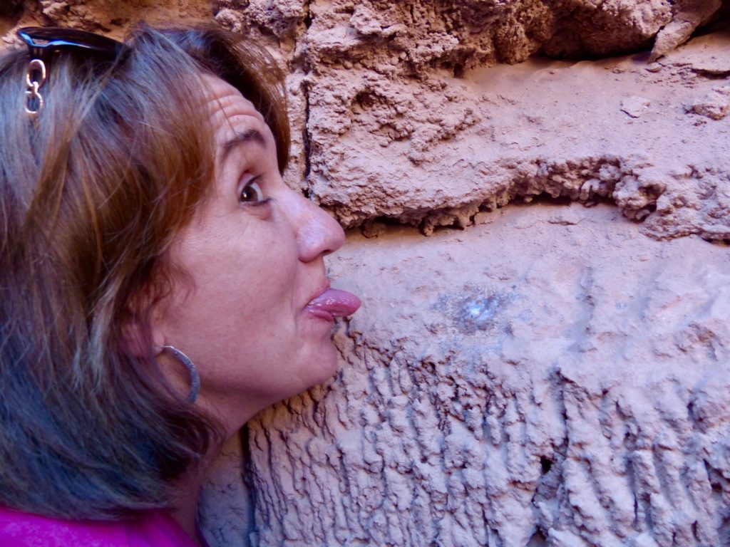
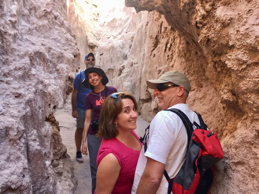
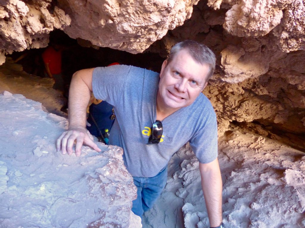
First, Mauricio led us through the Cavernas del Sal (caverns of salt). Naturally, I encouraged everyone to lick the walls. Nobody listens to me. At least Nancy pretended
The trek included some tight spots and emerged at a hilltop with a spectacular view of the valley.
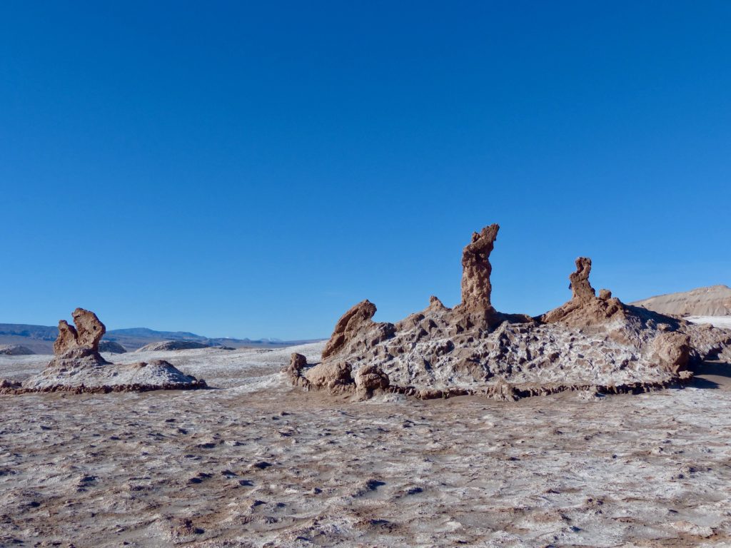
The bus took us to see a natural sculpture known as Las Tres Marias, which apparently once resembled Mary from the Bible in three poses. Thanks to erosion, they really should rename the sculpture, “Three Salty Blobs.”
We walked along the top of the valley, seeing some abandoned mining sites. Chile was once the world’s top exporter of nitrate, which was used in the production of fertilizer and explosives. During World War I, German scientists developed synthetic nitrogen, which ended demand for natural nitrates. Although nitrate ghost towns dot the desert, the mining industry in Chile got a reprieve with the discovery of copper.
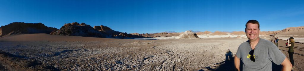
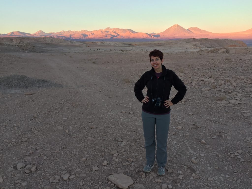
A short stop gave us time to snap a few photos of the valley before heading to Mirador de Cari to watch the sunset.
Our sunset viewpoint was far from private. A gajillion tourists grinned and jumped for selfies dangerously close to the cliff’s edge. Still, if you could block out the throngs, you could find some zen in the crimson creeping across the valley and the transformation of the distant volcanoes from beige to golden to pink.
After this tour of Valle de la Luna, I can safely say that it might be nice to visit the moon, but I wouldn’t want to live there.
Chile burst into celebration this week with Fiestas Patrias – commonly known as Dieciocho, a catch-all name for two important dates: Chile’s independence day on September 18, and Armed Forces Day on September 19. Chile’s actual independence from Spain occurred on Feb. 12, 1818, but Dieciocho recognizes the town meeting that led to Chile’s first governing body in 1810.
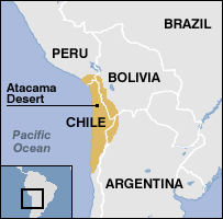
For the week-long Dieciocho holiday, we headed north to explore the Atacama Desert, a 600-mile-long stretch of land sandwiched between the Pacific Ocean and the Andes Mountains. The desert bleeds across Chile’s borders into Peru, Bolivia, and Argentina. Tony and I flew to San Pedro de Atacama, along with our friends and fellow Nido teachers, Craig and Nancy, and Nancy’s fiancé Jim, who traveled to Chile from England.
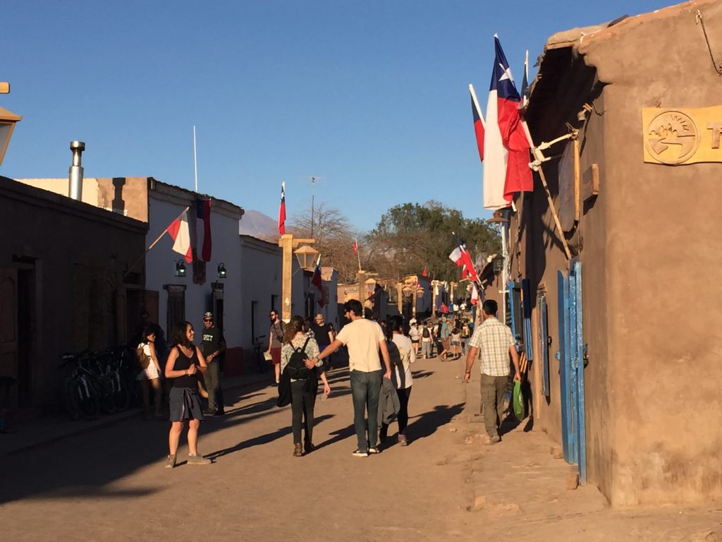
San Pedro de Atacama, a small town comprising dirt roads lined with squat adobe buildings, served as our jumping off point. We joined a surprising number of tourists strolling through the warren of restaurants, souvenir shops, and travel agencies, pausing in the town square to snap a few photos of the church, and popping in to the crafts market.
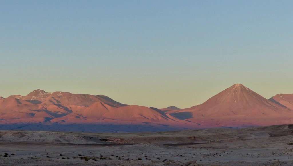
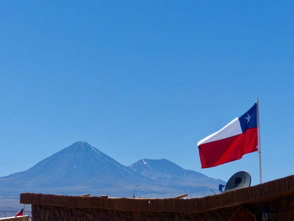
The 5,916-meter Licancábur volcano watches over San Pedro.
Poking around the shops.
When we stepped off the plane in San Pedro, we had gone from an elevation of 520 meters in Santiago to 2,408 meters. The impact was subtle. We all reported feeling out of breath if we tried to walk too fast, and some of us experienced short bouts of nausea.
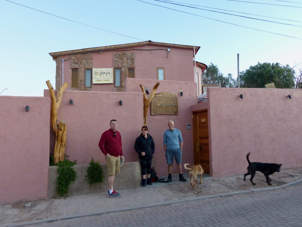
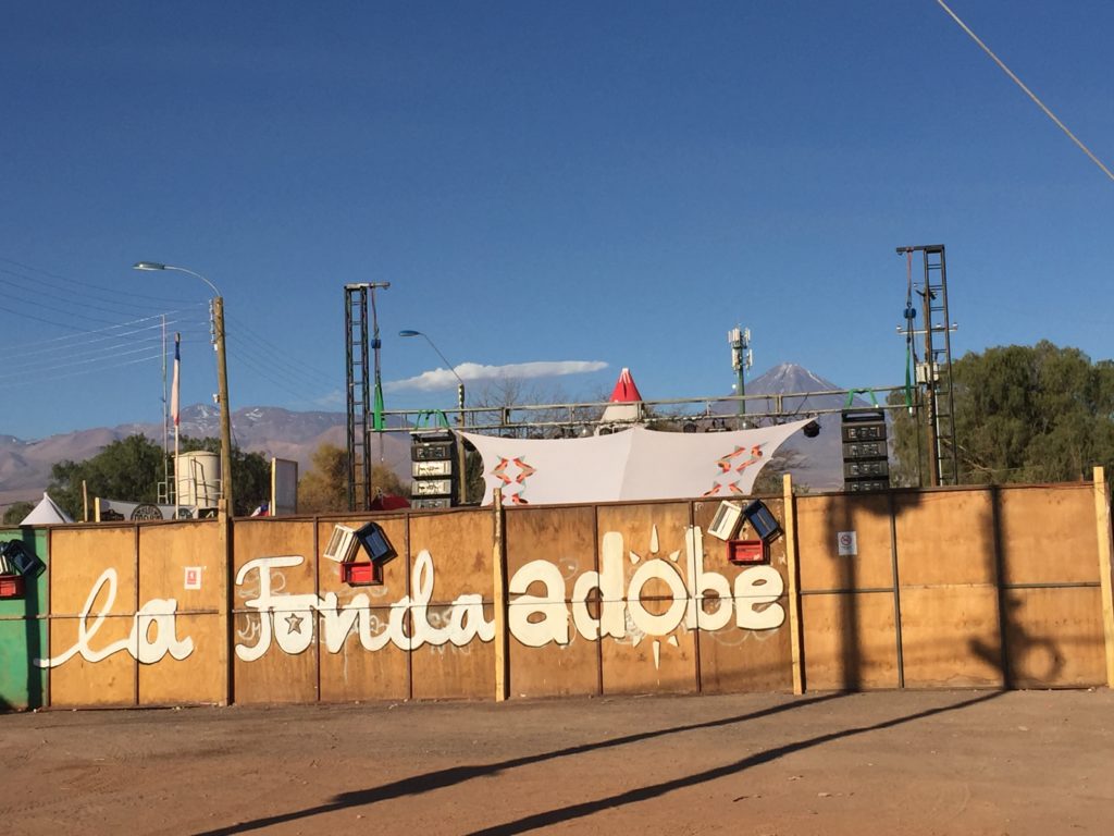
We stayed at Parina Atacama, a small hotel off the beaten path, in part because we thought it would be quieter than staying in the middle of town. It was not. San Pedro’s Dieciocho fonda was in a field right around the corner. A typical fonda features dancing the cueca, playing traditional games, eating asado (barbecue), drinking terremotos (pipeño wine with pineapple ice cream) and lots of loud music all night long. (One morning, we were waiting on the corner for our tour bus at 7 a.m., and several people came stumbling down the street from the fonda.)
Anyway, the hotel had comfy beds, hot showers, and a big terrace where we could all hang out, so no complaints.
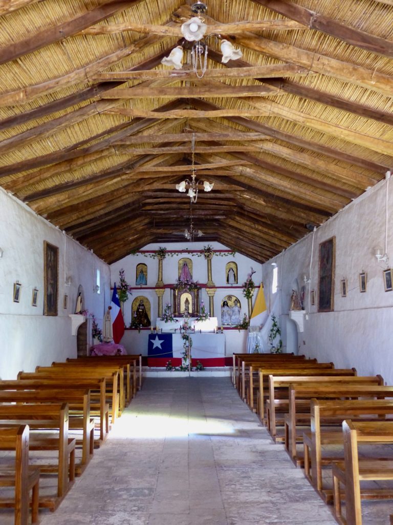
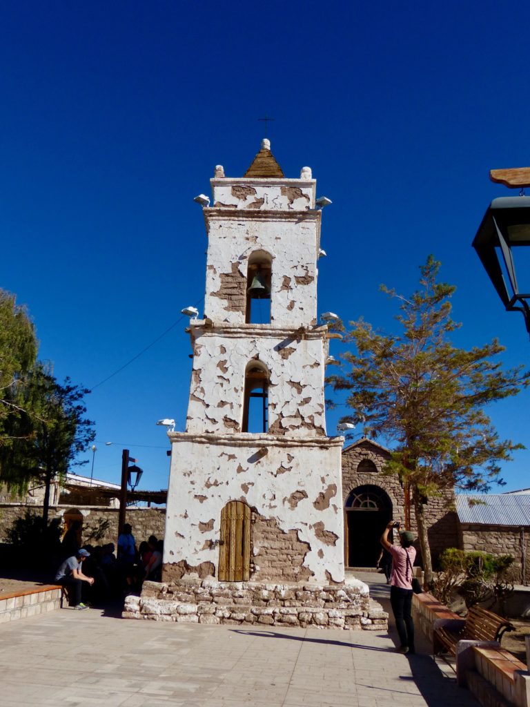
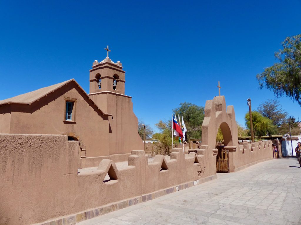
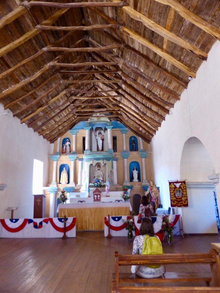
In San Pedro de Atacama itself, I really only wanted to check out two sites: the renowned archaeological museum and the little church in the central plaza.
The Museo Gustavo le Paige was named for a Belgian priest who arrived in San Pedro in the 1950s and amassed a significant collection of ancient artifacts. Unfortunately, a walled-off construction site is all that remains of the museum. According to a notice posted by the Universidad Católica del Norte, the museum structure had deteriorated to the point that the collection was in danger. The items were moved to safer temporary storage, starting in 2014, and the museum was razed with plans to build a new, more modern facility. However, the project has been stalled for some reason.
At least we got to visit the church. According to Lonely Planet, the Iglesia San Pedro “was built with indigenous or artisanal materials – chunky adobe walls and roof, a ceiling made from cardón (cactus wood) resembling shriveled tire tracks and, in lieu of nails, hefty leather straps. The church dates from the 17th century, though its present walls were built in 1745, and the bell tower was added in 1890.”
We booked a four-day tour with Sol Atacama Expediciones to see the region’s highlights. Were we even still in Chile? It felt like another planet! Stay tuned …